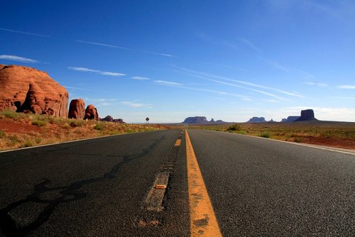
The PCH starts just south of San Diego, California and leads all the way along the Pacific coast up to Oregon. This spectacular route really is one trip you need to do in your life, the scenery is incredible.
Gwen Debaun recently traveled the Pacific Coast Highway and here she shares her advice and itinerary recommendations if you are planning to drive this incredible route.
What to Consider Before Departing
Ideally it is best to carve out a good chunk of time to drive the entire PCH, a whole summer or semester could be taken to truly experience each little seaside town that neighbors the scenic drive.
While my drive started just south of San Jose, I used my other experiences traveling around Southern and Central California to compile what the drive would be like if you start farther south.
Before departing, try to consider how much time you have available and this will help you to put together an epic itinerary. Also if you are thinking about taking a driving trip in this region, but are not sure of your driving capabilities then check out California permit practice to top up your driving knowledge before going out.
Itinerary
Starting in Orange County, one can see the sights of San Diego and Los Angeles.
In Orange County, there are countless beaches to stop at, like Laguna, Huntington and Newport Beach that are just off the Highway 1. It’s even worth it to stop in Redondo, which has a fun picturesque pier and many local shops to check out.
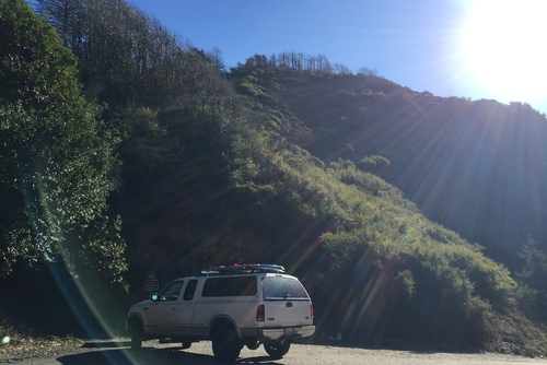
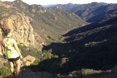
Just south of Los Angeles, there’s the Marina del Rey, Santa Monica and Malibu. Santa Monica holds the iconic ‘Santa Monica Pier’ which is a staple to see when checking off sights in Los Angeles. If you have a few days, you should check out Malibu and all the hiking trails the city offers, like Sandstone Peak.
When you get into the Central Coast (Malibu to San Francisco), it is full of so many beaches, some smaller and not as populated as the southern coast but just as beautiful.
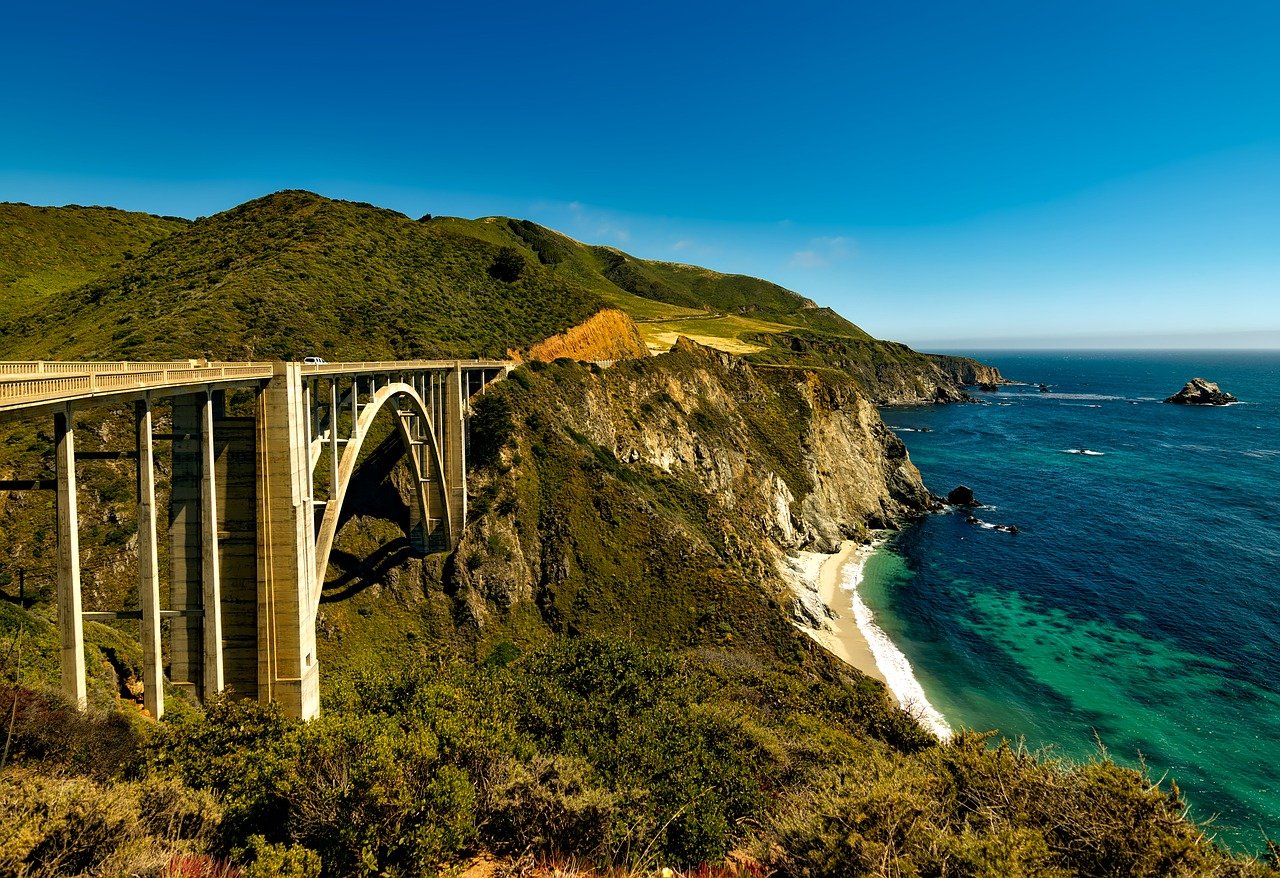
Here is where you will find the iconic surf destination, Big Sur. Plan accordingly if you want to see the epic surf spot. There is only one bridge that connects the PCH to Big Sur and sometimes with rain, the bridge can be out of use so check ahead.
My journey on the PCH started just south of San Jose, California. The night before a friend and I had driven up north from Los Angeles, originally wanting to use Highway 1, but due to daylight ending, decided to wait until the morning.
We began our trip on a foggy morning and though we had been warned that the drive could be dangerous, I must admit, we underestimated how bad it could be. It was by all means worth the sights, but at times the twisting and turning road, hugged the mountainside as the sea crashed next to you and you could barely see 10 feet in front of you from the fog.
We continued on and stopped a few times to see sights. One of the best was stopping in a small seaside town where a Pigeon Point Light Station sits. Pigeon Point was built back in 1871 and it is the tallest lighthouse on the West Coast. It is a historic landmark to the coast of California. Now there is even a small hostel on the grounds of the park.
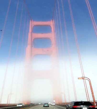
For much of our drive, we couldn’t see the surrounding hills or the water until it seemed that all of a sudden we had arrived in San Francisco and were heading over the Golden Gate Bridge. The bridge appeared out of the mass of fog and was breathtaking and giant as it appears in photos.
As you continue north, you even get to see the Redwood National Forest (or John Muir Woods, depending on the direction). It’s worth the delay to get some hiking in the forest. The redwoods are the world’s tallest trees, and worth the photo op.
The PCH is worth every minute of its white knuckle drive, in good weather or bad. If you only have a few hours, drive it. If you can stay longer, drive it. It is worth every moment.
By Gwen Debaun